Sakami Project
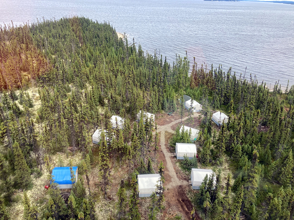
QPM’s 100% owned flagship project is the Sakami project, in the Eeyou Istchee James Bay territory of northern Quebec, one of the best mining jurisdictions in the world. The project is accessible year-round and is proximal to a paved road and power lines. The project consists of 281 claims covering a total area of 143 km2.
With more exploration, the Sakami project has the potential to become a series of significant deposits along a 23-kilometre trend, the size of a large mining camp. Gold production from these deposits would make an important contribution to the mining development of this territory.
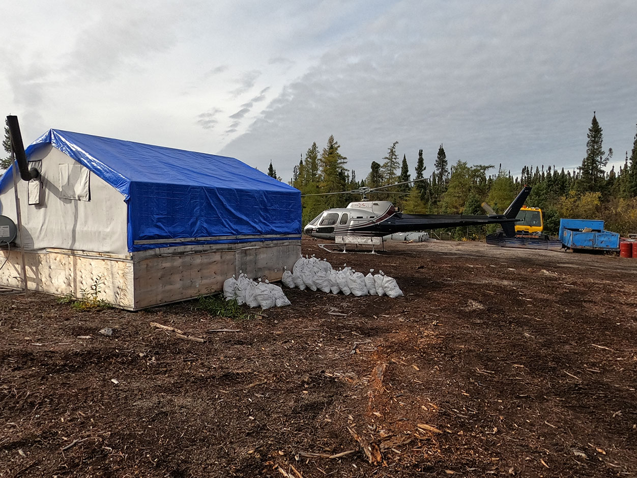
The work completed to date comprised of:
- Heliborne geophysical surveys
- Ground magnetic surveys
- Induced polarization
- Soil geochemistry
- Rock sampling
- Channel sampling
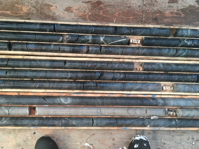
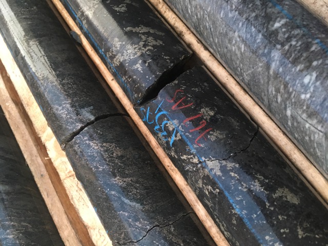
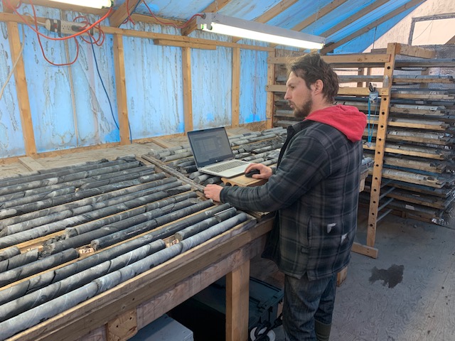
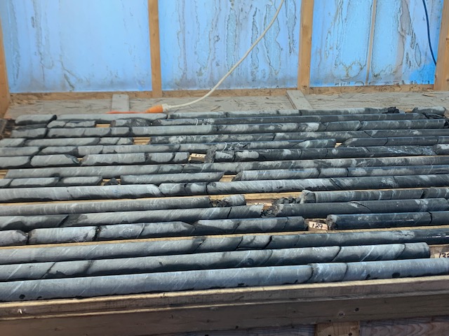
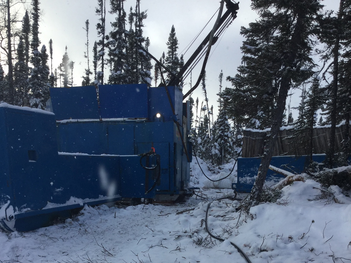
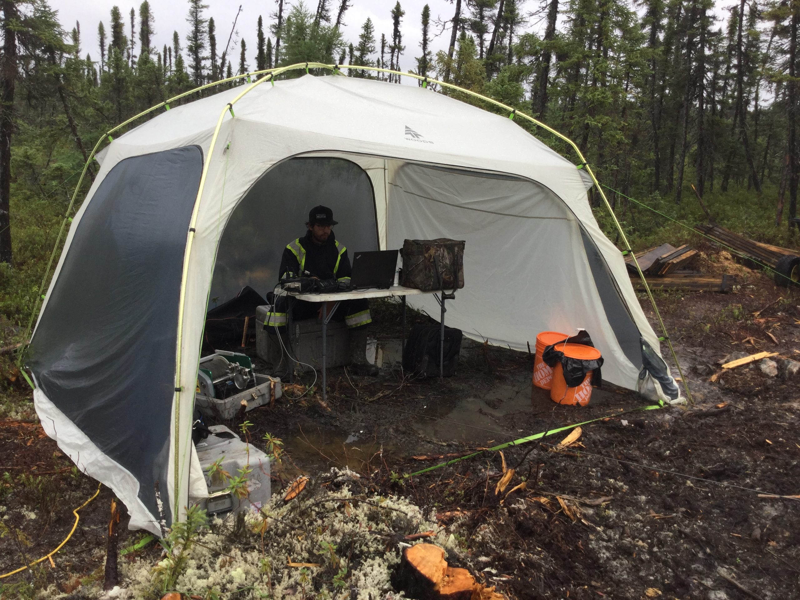
- Diamond drilling
This work on the project has resulted in:
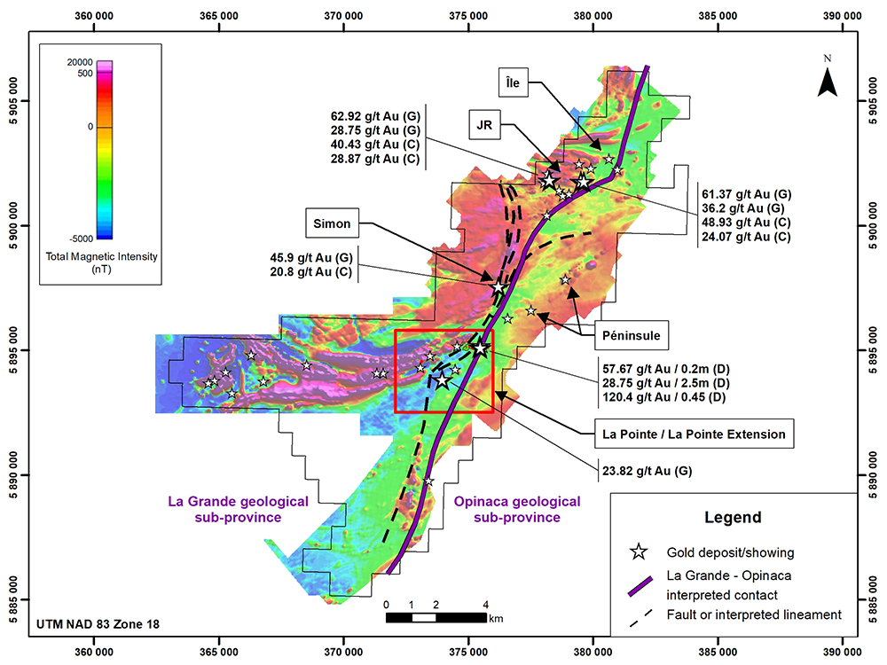
- Identifying a 23-km-long gold-bearing contact between volcano-sedimentary (La Grande geological sub-province) and sedimentary (Opinaca geological sub-province) rocks supported by airborne magnetic surveys data interpretation.
- Discovering through prospecting along the contact of significant showings at La Pointe and La Pointe Extension deposits, and Île, JR, Péninsule and Simon areas
- At La Pointe and La Pointe Extension, defining a very large prospective trend with multiple soil gold-arsenic anomalies
- Delineating drill targets with induced polarization surveys that coincide with soil anomalies and surface showings
- Diamond drilling at the La Pointe deposit, La Pointe Extension, and Simon and JR areas
- Focusing on the La Pointe deposit since 2018 and on its extension following its discovery in 2020
Geology and mineralization
The project is located within the central part of the Superior Geological Province, which comprises four Sub-provinces: from north to south they are the La Grande, Opinaca, Nemiscau and Opatica.
The project straddles the contact of the sediments of the Opinaca Subprovince and Yasinski group basalts of the La Grande Subprovince: the regional exploration guideline that led to the discovery of the Éléonore gold mine in 2004, today operated by Newmont Corporation, and the discovery of gold deposits and showings in the region.
The project is hosted within a volcano-sedimentary sequence of the Yasinski Group, which is metamorphosed to amphibolite facies and is strongly deformed by a regional west-southwest to east-northeast event in contact with sedimentary rocks of the Laguiche Group (Opinaca Subprovince) to the east.
Airborne magnetic surveys data interpretations show a clear alignment between the gold showings and the La Grande and Opinaca contact and structures sub-parallel to the contact.
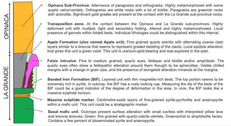
The main lithologies are:
- biotite-rich and silicified paragneiss with intrusions of granodiorite, tonalite and pegmatite; and
- amphibolite (metamorphosed sedimentary iron formation and mafic volcanic rock).
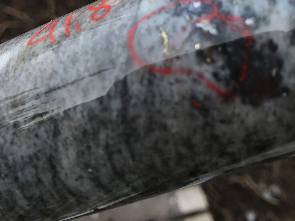
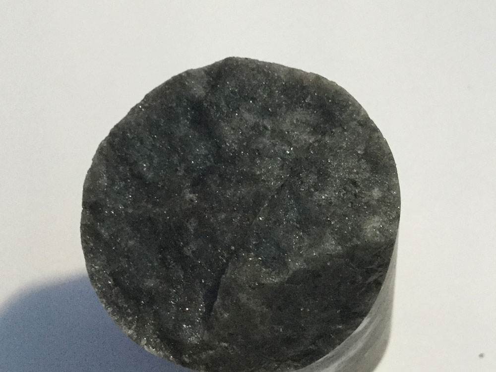
Gold is accompanied by disseminated arsenopyrite, pyrite and pyrrhotite and cross-cutting quartz-carbonate veinlets.
The mineralization style and setting share considerable similarities with the Éléonore mine and the Cheechoo deposit held by Sirios Resources Inc., such as:
- The mineralization associated with silicified paragneiss containing fine quartz veinlets;
- An alteration of quartz and brown tourmaline with minor arsenopyrite mineralization;
- An association of gold mineralization with a very proximal tonalite intrusion; and
- The presence of gold mineralization associated with silicified paragneiss, including fold structures.
Exploration
Exploration first began in the late 1950s consisting of geological, geochemical, geophysical and other exploration work programs within and around the project area to produce a geological map issued by the Geological Survey of Canada in 1957. From 1956 to 2007, numerous exploration programs executed by several major and junior exploration companies including Mines d’Or Virginia Inc., the company that discovered the Éléonore gold mine, took place in the project area.
In 1998 Matamec Explorations Inc. initially acquired claims in the Sakami Reservoir area and mineralized zones were discovered on the western shore of the Sakami Reservoir. In 2013 Canada Strategic Metals (now Quebec Precious Metals Corporation) started to drill on the La Pointe area and obtained significant gold intersections.
La Pointe Deposit
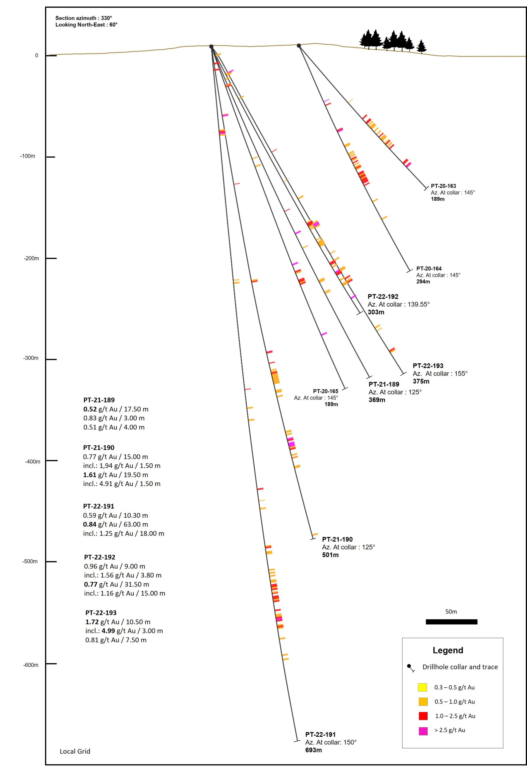
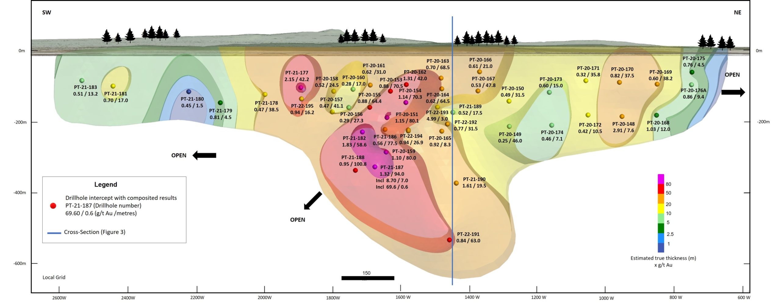
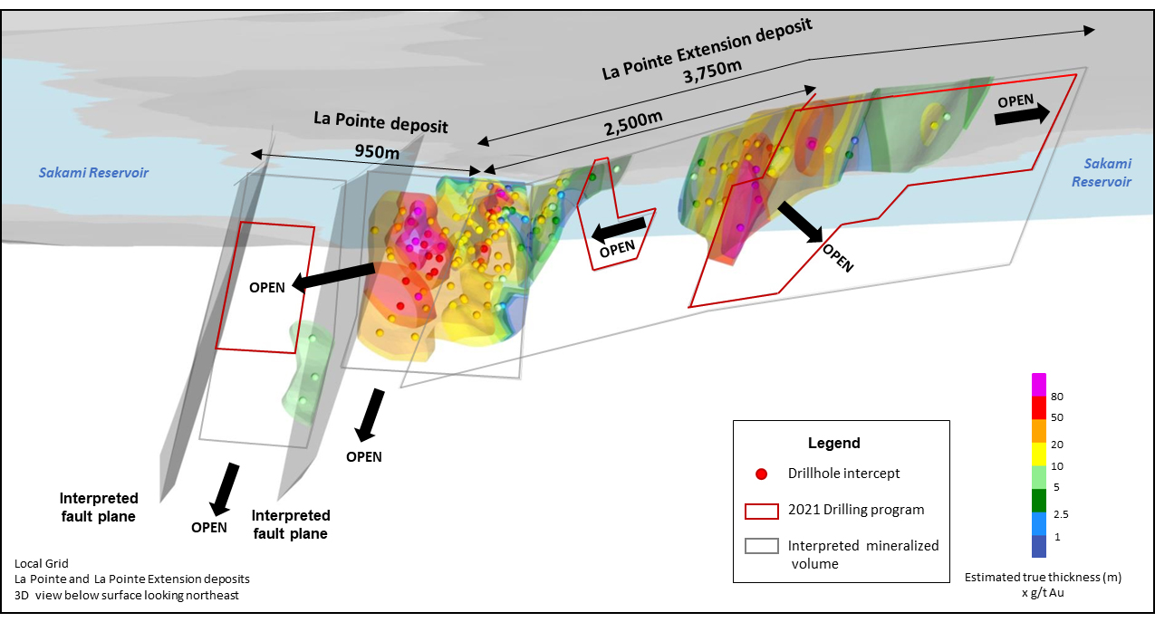
At the La Pointe deposit, the mineralized zone has a strike length 950 m, a depth of 450 m and 600 m down-plunge. The estimated average true thickness is 35 m, up to 63 m in the central part of the deposit. When plotted on a longitudinal section, metal factors (grade x thickness values) clearly show a higher-grade core (2 g/t Au or greater) steeply plunging to the west.
To the west an interpreted fault that shifts the mineralization has been identified and appears to represent its western limit. Geological interpretation of the drill results to date that the deposit remains open at depth. A high-grade gold-bearing iron formation is present and represent a good marker horizon. Similar iron formations have also been found elsewhere on the project such as the JR showing.
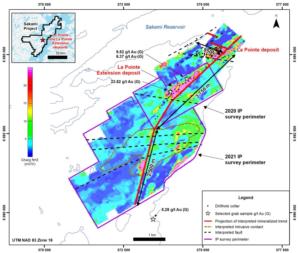
La Pointe Extension – 2020 Discovery
During the 2020 winter drilling campaign, the discovery of the La Pointe Extension deposit was made while investigating strong gold and arsenic soil geochemical anomalies and high-grade mineralized samples taken from outcrops.
Recent drilling programs confirmed the extensive gold mineralization along this major trend. Future drilling aims to expand the deposit that could be amenable to open pit mining and will allow to prepare a maiden mineral resource estimate.
Undrilled targets have been identified in interpreted large intrusive bodies near the deposit and over a strike length of 2.5 km to the south of the deposit. Drilling of these targets could also significantly expand the size of the deposit.