Lone Giant Prospect
Morristown, Arizona
34.0010°N 112.5035°W
34.0010°N 112.5035°W
The Lone Giant Prospect, located near Morristown, Arizona, is situated within the White Picacho Mining District, which is now part of the Hells Canyon Wilderness. This area has a rich historical association with mining activities. Various preliminary development activities have been undertaken at the site, including surface trenching, adits, shafts, drill holes, geophysics, geochemistry, and geological mapping. Sufficient data has been collected to estimate the grade and tonnage of the mineralization, resulting in the determination that the deposit is relatively small in size. The ore extracted from the Lone Giant Prospect primarily consists of spodumene and amblygonite, while the waste material contains predominantly muscovite, quartz, and albite. The ore body has been found to extend to a thickness of approximately 7 meters (25 feet). The geological nature of the surrounding area is characterized by gneiss, which formed during the Neoproterozoic era, approximately 0.54 to 1.00 billion years ago. The geomorphology of the region is predominantly influenced by the Mexican Highland, located within the Intermontane Plateaus.
Site identification and general characteristics. Learn about USGS mines.
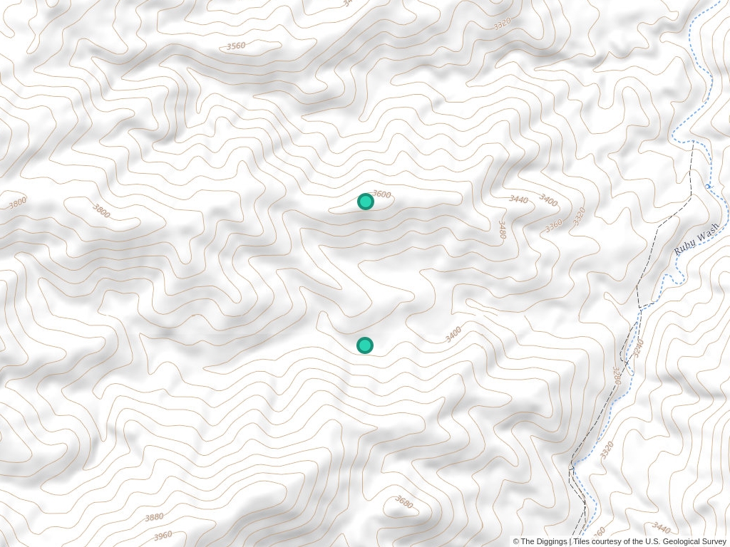
Click to open an interactive map.
© The Diggings™
Additional textual information about a site or mine.
IN INDEPENDENCE GULCH, ABOUT 2800 FEET EAST OF MIDNIGHT OWL MINE.
Characteristics of the ore body.
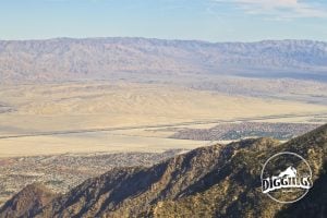
Physiographic area where the resource is found.
Other deposits in the same region.
P. And G. Beryllium Prospect
Midnight Owl Mine
Midnight Owl Mine
Independence Lithium Prospect
Independence Mine
Trilby Copper Mine
Trail Thin Property
Chloride Gold Mine
Shiva Mining Property
Buckhorn Gold Mine
* Mine bounds on map indicate the general area that a mine occupies. For an detailed map, refer to the overseeing BLM field office.
** The mine central point is based on an average of the mine's bounding box(es) and does not necessarily fall on the claim itself.
1 World-class significance is determined by total endowment of the contained commodity. This includes all past production and remaining reserves. Each commodity is considered separately and commodities cannot be combined to arrive at a significant size. The tonnage thresholds are from the mine model grade-tonnage studies. As of June 2008, many entries were classified as significant under less strict rules.
Learn more about the Bureau of Land Management, Public Land Survey System, and mining claims.

Understanding Claim Ownership
We receive lots of emails from people who find their name or a relative’s name on our site and want to know if this means they have some right to the land listed under that name.
Understanding BLM Administrative Areas
Whether it is filing a mine or researching one, the administering BLM office is going to be the definitive source.

Understanding Location Data
Mine handled by the Bureau of Land Management are not mapped by latitude and longitude, instead, these mines harken back to the Public Land Survey System.
Understanding Townships
A “township” can refer to two different things. Both are part of the PLSS measurement system but have different uses.
Deposit
WELL ZONED PEGMATITE. MUSCOVITE OCCURS IN THE CORE ZONE.
THIS RECORD CONTAINS DATA FROM DUPLICATE RECORD TC35393 WHICH HAS BEEN DELETED FROM MRDS.; INFORMATION SOURCE: 1 PUBLIC LITERATURE; 2 UNPUBLISHED REPORTS.