Now available to order
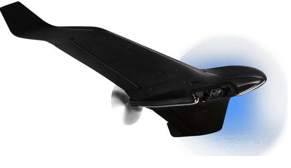
Real-time situational awareness UAS
For public safety agencies and Intelligence, Surveillance & Reconnaissance (ISR) missions
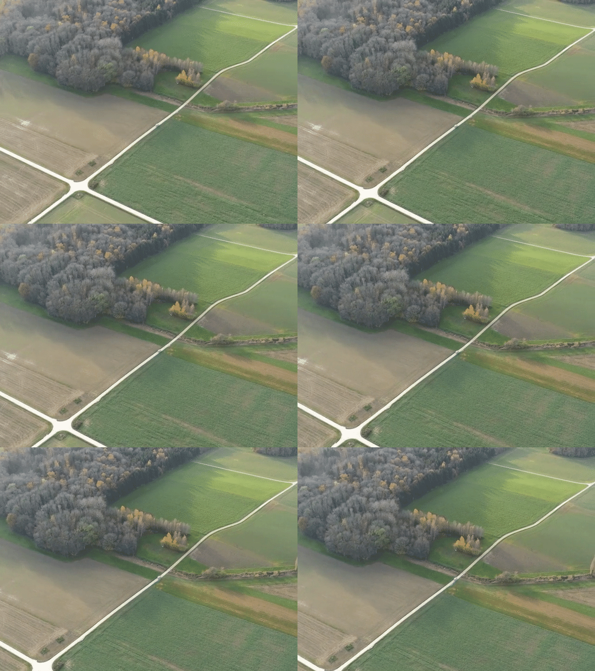
HD video capture
Even in GNSS-denied conditions
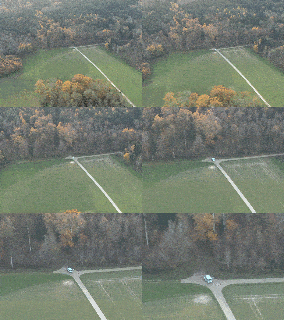
32x zoom
Live video feed from up to 12 mi | 20 km
.gif)
Thermal imagery
Day and night vision capabilities
Detect, track and geo-locate objects
Easy-to-use interface designed in collaboration with special forces, for defense, public safety and utilities requirements
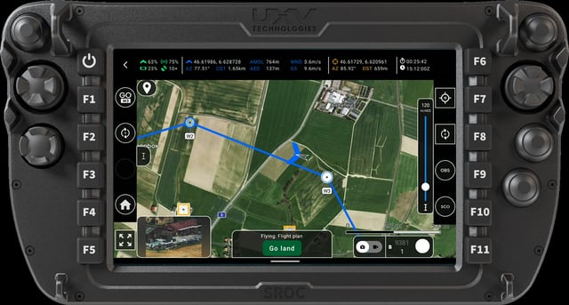

Flight plan
Define a flight plan and adapt it during the flight

Observation mode
Maintain observation from a safe distance.

Scouting mode
Explore and track moving targets.
Portable solution. Quick setup
Carried in a backpack, hand-launched and operated by a single pilot in rapidly-changing environments
3.5 lbs / 1,6 kg
47.2 in / 120 cm wingspan
Modular design
3 minutes deployment
Leverage your operations
Simultaneously capture, view and record video and imagery
Up to 12 mi / 20km wireless range
Up to 90 minutes flight time
Low acoustic signature
Low specular reflection
Cyber-secure

All specifications are not final and subject to change without notice.
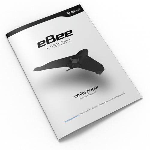
Learn everything about eBee VISION
The white paper provides in-depth technical details about the drone, the ground control station, and the software.
